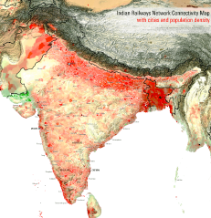
File: Indian Railways Network Connectivity Map with cities and population density.png
From New World Encyclopedia

Size of this preview: 578 × 599 pixels. Other resolutions: 231 × 240 pixels | 1,500 × 1,555 pixels.
Original file (1,500 × 1,555 pixels, file size: 1,000 KB, MIME type: image/png)
File history
Click on a date/time to view the file as it appeared at that time.
| Date/Time | Thumbnail | Dimensions | User | Comment | |
|---|---|---|---|---|---|
| current | 22:41, 18 June 2013 | | 1,500 × 1,555 (1,000 KB) | Jennifer Tanabe (talk | contribs) | Imported from Wikipedia |
You cannot overwrite this file.
File usage
The following page uses this file: