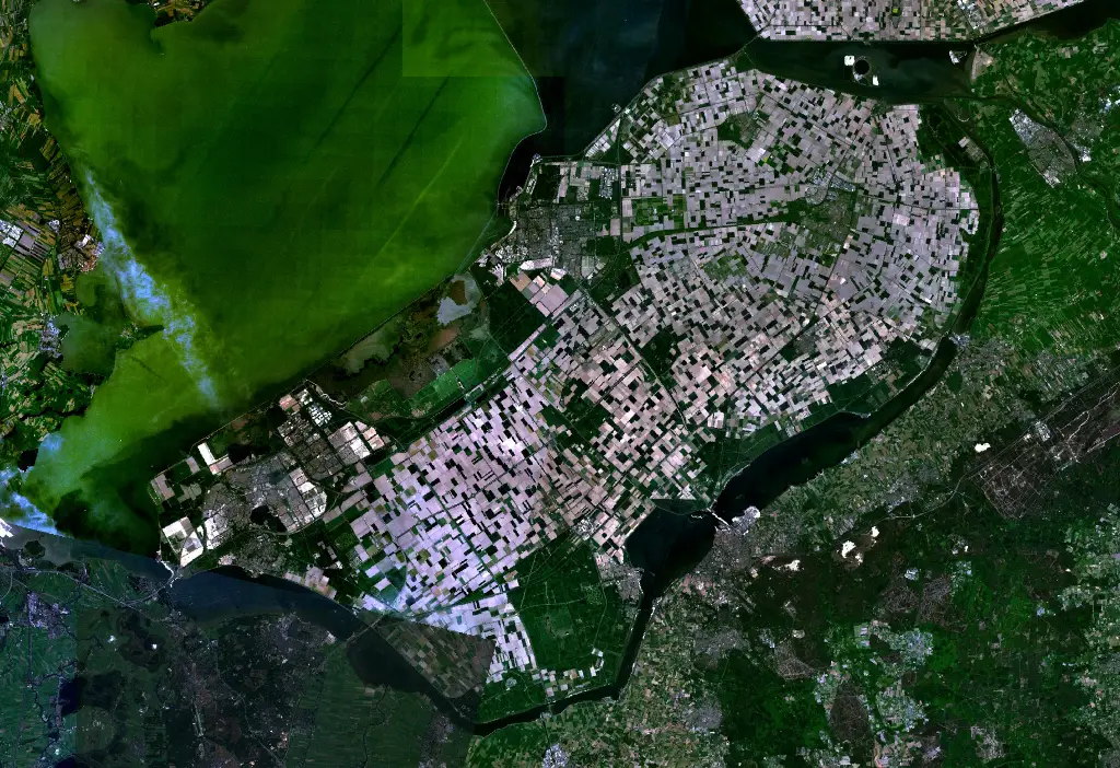
File: Satellite image of Flevopolder, Netherlands (5.48E 52.43N).png
From New World Encyclopedia
Revision as of 21:04, 10 January 2009 by Dinshaw Dadachanji (talk | contribs) (Imported from Wikipedia)
Size of this preview: 800 × 548 pixels. Other resolutions: 320 × 219 pixels | 1,024 × 702 pixels.
Original file (1,024 × 702 pixels, file size: 1.49 MB, MIME type: image/png)
File history
Click on a date/time to view the file as it appeared at that time.
| Date/Time | Thumbnail | Dimensions | User | Comment | |
|---|---|---|---|---|---|
| current | 21:04, 10 January 2009 | | 1,024 × 702 (1.49 MB) | Dinshaw Dadachanji (talk | contribs) | Imported from Wikipedia |
You cannot overwrite this file.
File usage
The following 2 pages use this file:
.png&oldid=899005)