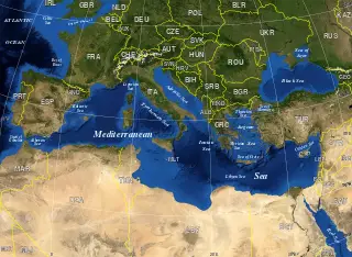
File: Mediterranean Sea political map-en.svg
From New World Encyclopedia
Revision as of 13:20, 19 July 2007 by Keisuke Noda (talk | contribs) ([http://en.wikipedia.org/wiki/Image:Mediterranean_Sea_political_map-en.svg source and rights])

Size of this PNG preview of this SVG file: 800 × 585 pixels. Other resolution: 320 × 234 pixels.
Original file (SVG file, nominally 2,046 × 1,496 pixels, file size: 1.1 MB)
File history
Click on a date/time to view the file as it appeared at that time.
| Date/Time | Thumbnail | Dimensions | User | Comment | |
|---|---|---|---|---|---|
| current | 13:20, 19 July 2007 | | 2,046 × 1,496 (1.1 MB) | Keisuke Noda (talk | contribs) | [http://en.wikipedia.org/wiki/Image:Mediterranean_Sea_political_map-en.svg source and rights] |
You cannot overwrite this file.
File usage
The following 3 pages use this file: