Difference between revisions of "Lusaka" - New World Encyclopedia
Mike Butler (talk | contribs) |
Mike Butler (talk | contribs) |
||
| Line 109: | Line 109: | ||
}} <!-- Infobox ends —> | }} <!-- Infobox ends —> | ||
| − | '''Lusaka''' is the [[capital city|capital]] | + | {{Unification aspects|'''Lusaka''' is the [[capital city|capital]], the largest city, and the commercial center of [[Zambia]]. The four main highways of Zambia — [[Great North Road, Zambia|north]], [[Livingstone Road|south]], [[Great East Road|east]] and [[Great West Road|west]] — radiate from it. |
| − | + | Once a village, a rail link in 1905 enabled Lusaka to develop as a collecting point for corn and tobacco. Lusaka became the capital of the British colony of [[Northern Rhodesia]] in 1935, and upon independence in 1964, became the capital of Zambia. | |
The name ''Lusaka'' derives from a village, once located on the site, that was named after its headman, Lusaka. | The name ''Lusaka'' derives from a village, once located on the site, that was named after its headman, Lusaka. | ||
Revision as of 20:44, 16 March 2009
{{Unification aspects|Lusaka is the capital, the largest city, and the commercial center of Zambia. The four main highways of Zambia — north, south, east and west — radiate from it.
Once a village, a rail link in 1905 enabled Lusaka to develop as a collecting point for corn and tobacco. Lusaka became the capital of the British colony of Northern Rhodesia in 1935, and upon independence in 1964, became the capital of Zambia.
The name Lusaka derives from a village, once located on the site, that was named after its headman, Lusaka.
Geography
The city is located in the southern part of the central plateau of Zambia, consisting of flat grassland that supports farms, at an elevation of 4198 feet (1280 meters).
Lusaka has a superb climate, with warm sunny summers, interspersed with cooling thunderstorms and mild winters with loads of sunshine. The average maximum daytime temperature in January is 79°F (26°C), dropping to an average maximum of around 73°F (23°C) in July. It can get hot between October and March if there’s no rain. Average annual precipitation is 33 inches (836mm).
The main environmental issues facing Lusaka are deforestation, environmental degradation, as well as air and water pollution. Unplanned growth has led to insufficient water resources, ineffective solid waste management, undeveloped waterborne sanitation systems, and inadequate toxic waste disposal. [1]
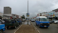
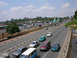
Lusaka is a sprawling, unplanned metropolis with many multi-storey buildings, high-walled suburbs and busy shanty towns. The city centre includes several blocks west of Cairo Road, around which lie the New City Market and Kamwala Market, a major shopping area, as well as the Zintu Community Museum. Further east lies the government area, including the State House and the various ministries.
History
The area of modern Zambia was inhabited by Khoisan hunter-gatherers until around 300 C.E., when technologically-advanced migrating tribes began to displace or absorb them.<ref>Holmes, Timothy (1998). Cultures of the World: Zambia, 19–20. ISBN 0-7614-0694-8.

